
Which Navigation App is Best for Walking? Here’s the Truth
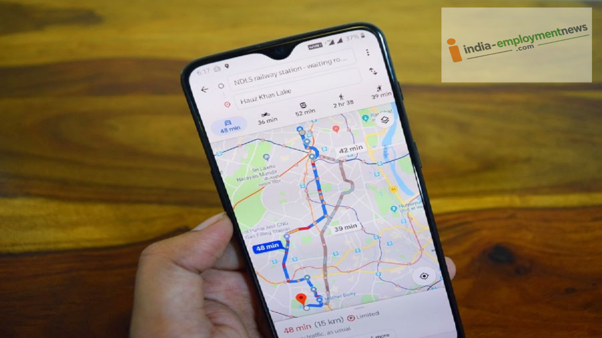
Which navigation app offers the most accurate guidance for walking? Several apps, including Google Maps, were tested, and the results were surprising.
Nowadays, most people use navigation apps on their smartphones to reach unfamiliar locations. While Google Maps is commonly used for car or bike travel, it also features a dedicated navigation mode for pedestrians. However, if your goal goes beyond simply reaching a destination on foot—such as tracking a hike or a fitness walk—other apps might prove more useful.
Google Maps for City Walking
Google Maps is a handy option if you need to walk to a specific location within a city, market, or unfamiliar area. It is particularly useful when you have driven to a location but cannot park your vehicle right outside the destination.
In such situations, you can switch from driving mode to walking mode in Google Maps. The app displays the walking route and the estimated time required. Users can also modify the route according to their preferences if needed. Google Maps has also garnered positive feedback from Reddit users for urban pedestrian navigation.
AllTrails for Forests and Hiking Trails
If your walking isn't limited to city streets and you wish to explore mountains, forests, or national parks on foot, AllTrails is a distinct option. It is designed specifically for outdoor trails.
The app features over 500,000 mapped trails worldwide, providing details such as trail locations, difficulty levels, and photos. Users can also share their own photos. Additionally, it offers features like driving directions to the trailhead, points of interest along the way, and tracking for walk distance and duration.
A free version of AllTrails is available, while the premium version offers extra features like printable maps and live trail condition updates. However, some users have noted that the process for cancelling the premium subscription is not clearly explained.
Map My Walk for Fitness Walking
If walking is part of your exercise or fitness routine, Map My Walk could prove to be highly effective. It uses GPS to track your walk in real-time and subsequently displays data such as distance and duration.
Additionally, the app provides fitness metrics like speed, elevation, calories burned, and heart rate. Users can also set daily step goals. However, continuous tracking may require keeping the app open on your phone, which can lead to increased battery consumption.
The Right App Depends on Your Needs
Therefore, it is not necessary to use the same app for walking in every situation. Google Maps is useful for standard navigation on city streets, whereas AllTrails offers specialized features for forests and hiking trails. On the other hand, if your focus is on tracking your walk as a fitness activity, Map My Walk is a great choice.
