
What is the difference between Google Maps and Google Earth? Understand the technology behind both.
While both Google Maps and Google Earth are Google's mapping services, there are significant differences in their functionality and underlying technology. Here is a look at the purpose each platform serves.
Google Maps and Google Earth are both renowned mapping platforms from Google. Both offer features such as imagery of various parts of the world, location details, and Street View. Consequently, many people assume they serve the same purpose. However, their intended use and objectives differ significantly. Google Maps is primarily designed for everyday navigation and finding specific locations, whereas Google Earth focuses on exploring the globe and viewing geographical information in greater detail.
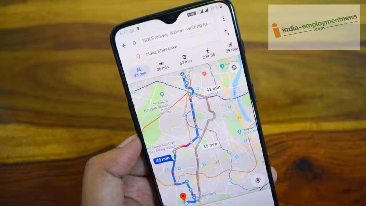
If you use Google Maps daily, its greatest advantage is navigation. It offers options to find addresses, plan routes for cars or motorcycles, and access public transport information. The app also displays traffic conditions, toll details, and other travel-related data. Additionally, it provides listings, reviews, and essential information about shops, restaurants, hotels, and other establishments. In short, whether you are traveling from home to a new city or simply looking for a nearby restaurant, Google Maps is considered the superior choice.
What makes Google Earth different?
The experience offered by Google Earth is distinct. It allows you to view the entire planet as an interactive 3D globe. Users can view areas from above and observe terrain features, mountains, and—in select cities—3D buildings. According to Google, Earth integrates satellite and aerial imagery, 3D topography, geographical data, and Street View into a unified experience.
For this reason, Google Earth is used not only for exploration but also for research, education, planning, and various professional activities.
Earth Leads in Viewing Historical Imagery
A major difference between the two services lies in their historical imagery. Google Earth allows users to view available past satellite or aerial photos of a location through its "Historical Imagery" feature. Google has made this historical imagery available on both the web and mobile versions of Earth.
Additionally, Google Earth now offers "Historical Street View." This feature allows users to view street-level photos from different time periods for supported locations, helping them understand how an area has changed over the years.
Does Google Earth Show Live Images?
This is a common misconception. The satellite or aerial images displayed on Google Earth are not live. According to Google, imagery is collected at different times, and multiple photos are stitched together to create a mosaic. Therefore, changes that have just occurred at a location do not necessarily appear on Earth immediately.
Which App Is Better for Whom?
If your needs involve finding directions, checking traffic, locating shops or restaurants, and managing daily commutes, Google Maps proves to be more useful. On the other hand, if you wish to explore a location in 3D, view historical satellite photos, or understand how an area has changed over time, Google Earth is likely to be more beneficial.
