
Google Maps tracks traffic using your mobile phone; making a small change can confuse the entire system..
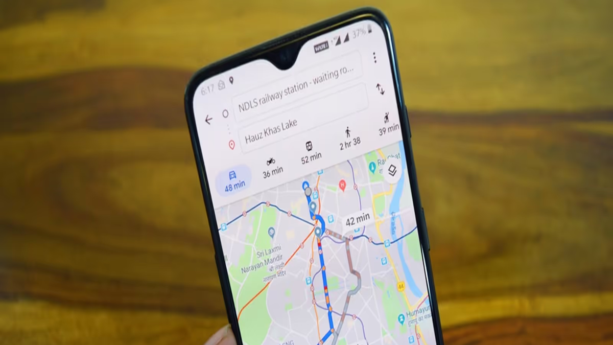
If you use Google Maps daily, you have likely noticed that traffic conditions on the road are constantly changing. A green stretch usually indicates normal traffic flow, while yellow or red colors signal slower vehicle speeds. But where does Google get this information? The mobile phone in your hand plays a major role. By aggregating location and movement signals from the phones of people on the road, Google estimates how fast traffic is moving along a specific route.
This helps it understand the traffic situation.
Suppose vehicles usually travel at 50 km/h on a particular road, but the mobile location signals in that area indicate movement at a much slower pace. This signals to Google that traffic is slow. In other words, Google does not need to track each vehicle individually in real time; by analyzing signals from multiple mobile phones simultaneously, it can estimate the overall traffic conditions on the road.
Historical data also reveals where traffic jams occur.
Traffic estimates aren't based solely on live data; Google also considers historical traffic patterns—such as typical congestion levels during Monday morning rush hours or how much vehicle speeds drop in the evening. By combining these historical patterns with current signals, Google estimates the time it will take for you to reach your destination.
How accurate is the estimate without live data?
If Google does not receive sufficient live location signals from vehicles and people on a road, estimating real-time traffic becomes difficult. In such cases, Google may rely on historical traffic patterns, other available live signals, and information from traffic authorities. Details regarding accidents, road closures, construction work, or other incidents can also alter traffic estimates. According to Google, real-time information received from traffic police and the public is also utilized.
In short, the traffic colors on Google Maps are not magic. This relies on estimates generated by combining data from millions of mobile signals, historical traffic patterns, and various other sources. Therefore, if live data for a particular road drops significantly or there is a major shift in available signals, the map may struggle to accurately gauge the traffic situation.
Disclaimer: This content has been sourced and edited from News18 Hindi. While we have made modifications for clarity and presentation, the original content belongs to its respective authors and website. We do not claim ownership of the content.
